Summit of Gunung Muntahak (06 September 2004) |
| Location | Kota Tinggi, Malaysia |
|---|---|
| Height | 634 m |
| Terrain | Forest trail |
| Recommended duration | Day hike |
| Ease of access | Starting point of trek can be reached using public transport |
| Special equipment | None |
| Good | Relatively unexplored. |
| Not so good | No view at the summit |
Blog post, from The MtTrekker
September 2004
Hidden behind the popular Kota Tinggi waterfall lays its source, Gunung Muntahak. This 634 m hill is relatively undisturbed beyond the mining area with primary rainforest covering the base to its summit. From the main road leading to Kota Tinggi waterfall, it is not possible to see this hill as it is well hidden by other smaller hills. The dim interior and rich humus cover provides an ideal condition for the growth of a rare and beautiful palm, Johannesteijsmannia altifrons (Common name: Joey palm, diamond joey). This plant has leaves that can easily stretch over a storey high for matured specimens.
Tin mining road which leads to Gunung Muntahak(01 Sep 2004) |
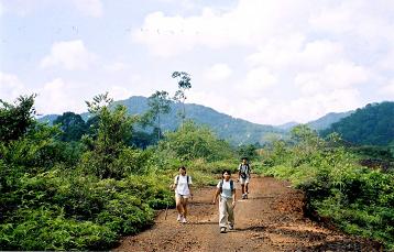
The initial part of the trek is interesting as it passes through an old tin mining land. Orchids and pitcher plants grow in abundance in this nutrient poor ground. Although the water bodies in the land was the result of rain water collected in the mine, the last and the largest one before entering the forest is beautiful with an aura of peaceful tranquility. Far from being devoid of life, the pond contains many fishes and frogs. The flat land beside the pond makes this place suitable as a campsite although it is not advisable to use the water in the pond for drinking as it is stagnant. Standing at the edge of the pond, a loud shout will return a clear echo.
The trail to the summit is mostly gentle under a thick canopy. As not many people have visited this hill, the trail is narrow and there are many places where fallen trees and vegetations are obstructing the path. Closer to the summit, the gradient becomes steeper. Fallen leaves that littered the ground made the ascent more difficult and tiring. A small round grass patch marks the summit with thick tall vegetation blocking the view which probably explains why few people coming here.


Take a bus to Kota Tinggi bus terminal. You may check out the available bus services, prices and dates on http://www.busonlineticket.com
To Wet World Resort (Sungei Pelepah)
Via local bus:
Take a bus that goes to Kota Tinggi Waterfall (Wet word resort) (September 2003)
|
Check at the bus station which is the bus going to Kota Tinggi Waterfall (Wet world resort) Cost: Rm 2 Duration: 30 to 45 minutes Remarks: Bus ticket is bought on the bus Bus stop at the carpark in front of Wet World resort There is no bus shelter The bus makes a U-turn in the carpark of the Wet World resort before heading back to town. [Ref: 2] |
Via taxi (Sep 2004)1:
Cost: Approx. Rm 10 to 12 per taxi
Duration: 20 min
Via private van/mini-bus (Sep 2004)1:
Cost: Approx. Rm 3 per person
Duration: 20 min

| Duration (mins) | Description | Instructions | Remarks |
|---|---|---|---|
| 00 | Wet world resort entrance | Keep to the right along the stream. Look for a trail that goes into the old mining ground on the right. | |
| 38 | Large pond on the right with a concrete hut ahead | The trail is behind the hut on the right side. Bash through thick fern undergrowth for 10m before going into the forest. | See picture below |
| 15 | T-junction | Go straight | |
| 05 | T-junction | Turn left and go up to the ridgeline. | |
| 120 | Summit |
Last half an hour is steep as the ridgeline merged into a hillside. Summit is a small patch of low ferns and grasses surrounded by thick vegetations more 2m high. |
Useful Timings
| Starting point to summit | : approx. 3 hours |
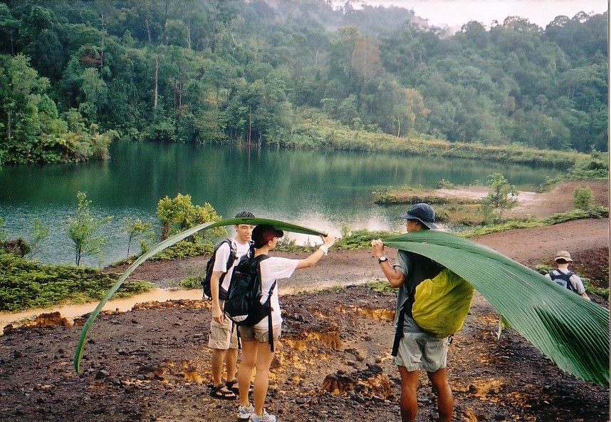
Large pond just before entering the forest(01 Sep 2004) |
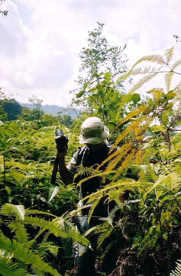
Bashing through the ferns to get into the forest(01 Sep 2004) |

- Light weight clothes
- Lamp/torch
- First Aid Kit
- Extra clothing
- Rain gear
- Swiss Knife
- Insect repellent
- Water for the trek