Twin summits of Gunung Lambak |
| Location | Kluang, Malaysia |
|---|---|
| Height | 510 m |
| Terrain | Mixed forest trail |
| Recommended duration | Day trek |
| Ease of access | Cab or drive to foot of hill |
| Special equipment | None |
| Good | Unobstructed view of Kluang. Near Kluang town. |
| Not so good | Monotonous trek |
Put on your trekking boots and head for the hill in the town of Kluang. Gunung Lambak can be seen clearly from the town center with its prominent twin peaks. Its proximity to the town (5 km) makes it a popular hiking and training peak for locals. This hill is good for training purpose and as an introduction to the terrain of a trek to hills and mountains of a tropical country. There are shelters at mid-height and at the summit which you can take a rest. Beyond the shelters, there isn't any other facility for the general public to use. However, there is a small water theme park at the foot of the hill with toilet and showers facilities which you will need to pay to gain entry. On weekends, push-cart food and drinks stalls can be found at the carpark. There is a small stream near the beginning of the trek which you can rest and dip your foot in if you finished your trek early and just want to enjoy the tranquility of the forest.
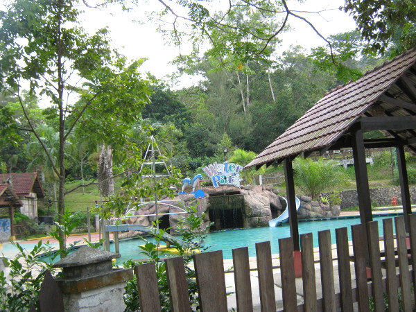
Water theme park at the foot of the hill (August 2013). |
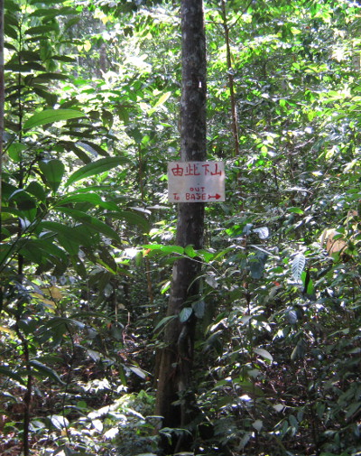
Getting to the starting point of the trek is simple. There is a small water theme park and a carpark at the foot of the hill. The starting point of the trek is just beside it. The initial part of the trek is on a tar road and there is a map of the trail at the starting point. The road ends as it reaches a stream that runs parallel to it and is replaced by steps. This is where the ascent starts to get steeper and ropes are tied to the side of the trail to guide your way up. The uphill trek can be quite tiring as the route is steep for most part of the journey. At the top of the left-summit, there are two benches and a small shelter. There is also a signboard on a telecommunication tower to mark the summit. From here, the town of Kluang can be seen clearly. There are signages pointing to the other summit and down the hill to the starting point.
This trek is suitable for any individuals and adventurous children may also give it a try. However, some of parts of the trails are eroded and the steps would require you to use your hand to pull yourself up. The ascent can be physically tiring as it takes a fit person an hour of constant uphill trek to reach the summit. Its proximity to town means that help is not far away in the event of any accident.
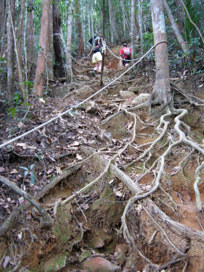
Steep section of the hill (August 2013). |
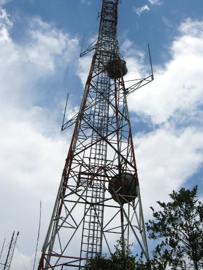
Telecommunication tower at the summit (August 2013). |
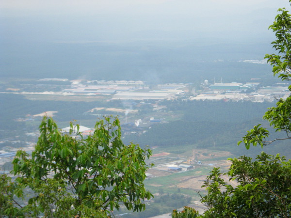
View from the summit (August 2013). |
|
Summit hut(August 2013). |
|

|
|

- Explore!@Joylohdotcom, 08 March 2014.

Take a bus to Kluang Express bus terminal. You may check out the available bus services, prices and dates on http://www.busonlineticket.com
Take train to Kluang. You may check out the train services, prices and dates on Malaysia Railway
To Gunung Lambak1
Via cab:
| Cost: | Rm6 per cab |
| Duration: | 15mins |
| Remarks: | You may arrange for the cab to come back to pick you up at extra cost or by bus (See below) |
Return Journey Via local bus1:
Walk along main road for about 15mins until there is a T-junction turning to the right.
Keep to the right side of the road and wait for local bus. There is no designated bus stop.
| Cost: | Rm 0.70 per person |
| Duration: | 30 mins |
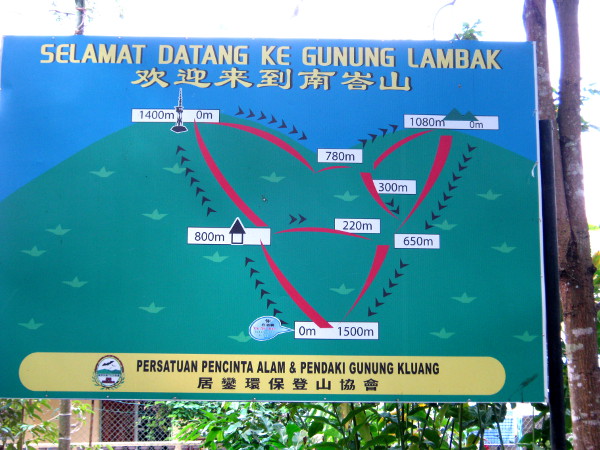
Route map at starting point of trek (August 2013). |
| Duration (mins) | Description | Instructions | Remarks |
|---|---|---|---|
| 00 | Prominent path to the first summit on the left | ||
| 60 | First summit | Follow trail behind shelter | |
| 20 | Bottom of saddle, Y- junction | Turn right | |
| 10 | Summit | ||
| 0.5 | Y-junction | Turn left | About 4 meters from summit |
| 0.5 | Y-junction | Turn left | About 3 meters from previous junction |
| 30 | Starting point of trek |
Useful Timings (February 2004. Courtesy of The Mountain Trekker1)
| Starting point to summit | : approx. 1 hour |
Signage at the saddle pointing the way down (August 2013). |
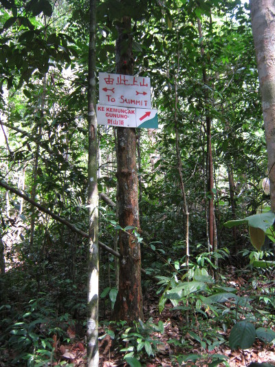
Signage at the saddle pointing the way to the summit (August 2013). |

Start the trek at about 9 am
Return to town for lunch


- Outdoors Sandals
- Light weight clothes
- First Aid Kit
- Extra clothing
- Rain gear
- Cap/Hat
- Swiss Knife
- Insect repellent
- Water for the trek